


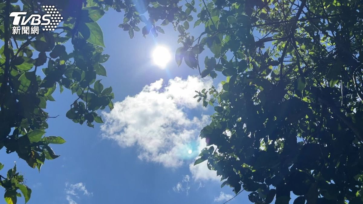
TAIPEI (TVBS News) — Taiwan braces for shifting weather patterns as a strengthening northeast monsoon brings a mix of sun and clouds across the island, Taiwan's Central Weather Administration (CWA, 氣象署) announced Tuesday (April 29). Forecasters predict the arrival of the season's first plum rain front on May 4, which will significantly increase precipitation likelihood in northern, northeastern and eastern regions.
Meteorologist Lin De-en (林得恩) warned that central and southern Taiwan will experience a heat surge with temperatures potentially climbing to 32 to 34 degrees Celsius (89.6 to 93.2°F). The weather system will traverse the island by May 5, bringing expanded rainfall coverage and intensity to northern, northeastern and eastern areas, accompanied by powerful wind gusts. In his meteorological column, forecaster Wu De-rong (吳德榮) emphasized that increasing atmospheric moisture and instability would trigger localized downpours across the island.
Wu elaborated that a fast-moving weather front would sweep across Taiwan on May 6, generating scattered precipitation and possible thunderstorms throughout the region. Weather conditions should stabilize by May 7 and 8 as the system departs, though isolated showers may persist in mountainous terrain. Meteorological agencies remain divided on potential typhoon formation, with European forecast models suggesting minimal development while American models project a more significant weather system.
The conflicting forecast models indicate that despite possible tropical development, meteorologists do not expect a sustained plum rain front—a weather phenomenon common to East Asia — to form within the coming 10-day period. Weather experts recommend ongoing vigilance given the substantial variations in computer simulation data. Residents across Taiwan should prepare for changeable weather patterns and maintain awareness of potential forecast updates in the days ahead. ★

