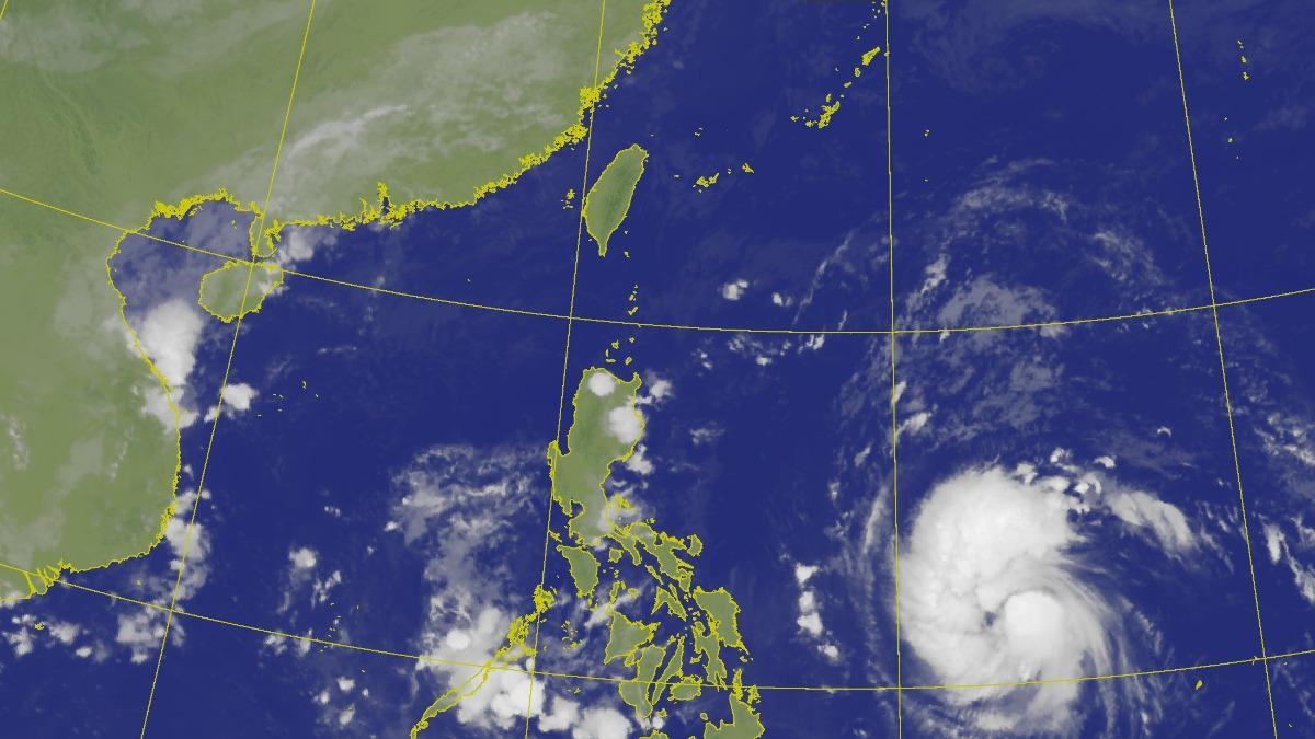
TAIPEI (TVBS News) — The Central Weather Administration (CWA, 氣象署) reported a tropical depression near Guam intensified into Tropical Storm Yinxing (銀杏) at 2 a.m. on Monday (Nov. 4). Positioned 1,910 kilometers southeast of Taiwan, Yinxing is moving northwest at speeds between 27 and 30 kph, with the potential to strengthen into a moderate typhoon and approach Taiwan closely by Saturday.
Meteorologist Wu Der-rong (吳德榮) analyzed the storm's trajectory, indicating Yinxing will move northwest for the next three days, nearing Taiwan's southeastern waters. Wu noted that Yinxing's path may split into two branches, with one heading through the Luzon Island area into the South China Sea and another veering northeast.
Wu stated that the present simulation shows that there is no chance for Yinxing to invade Taiwan directly, and the indirect "accompanying effect" is not strong, so future changes need to be continuously observed. He also mentioned that from Friday to Sunday, moisture on Taiwan's eastern side will increase due to Yinxing, leading to localized rain in the north and eastern regions, with rainfall intensity linked to the storm's indirect effects.
The CWA highlighted the storm's potential to approach Taiwan's southeastern offshore areas later in the week, though forecast uncertainties remain high.


