








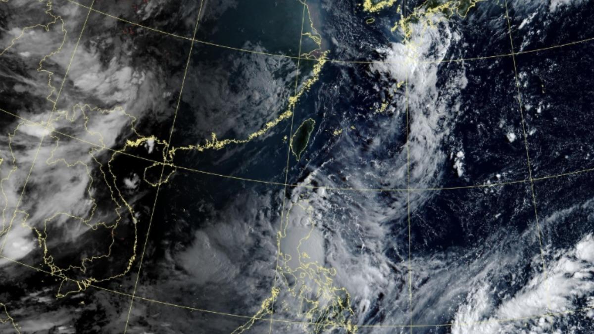
TAIPEI (TVBS News) — A tropical depression designated as 90W has formed east of the Philippines, raising concerns about potential intensification into a typhoon as it moves westward across the region. The meteorological Facebook page Taiwan Typhoon Forum (台灣颱風論壇) reported Thursday (Aug. 22) that a dominant Pacific high-pressure system is driving the weather system's expected westward trajectory. Weather experts are closely monitoring the depression's development as it approaches populated areas in the coming days.
Meteorologists anticipate that 90W will make landfall in Luzon Friday (Aug. 23) and enter the South China Sea over the weekend, moving toward Hainan Island. Experts have assessed the likelihood of the depression directly impacting Taiwan as very low. WeatherRisk Explore Inc. (天氣風險) a private weather forecasting company noted that the system would indirectly increase southern moisture, resulting in cloudy skies and sporadic showers in Taitung and the Hengchun (恆春) Peninsula.
Despite the tropical system's limited impact on Taiwan, residents should prepare for dangerously high temperatures across the island. The descending easterly winds will cause localized temperatures to reach around 36 degrees Celsius (96.8°F) in the Greater Taipei area and western inland regions. Other areas will remain uncomfortably hot, prompting authorities to advise the public to take precautions against sun exposure and stay hydrated when venturing outdoors. ◼