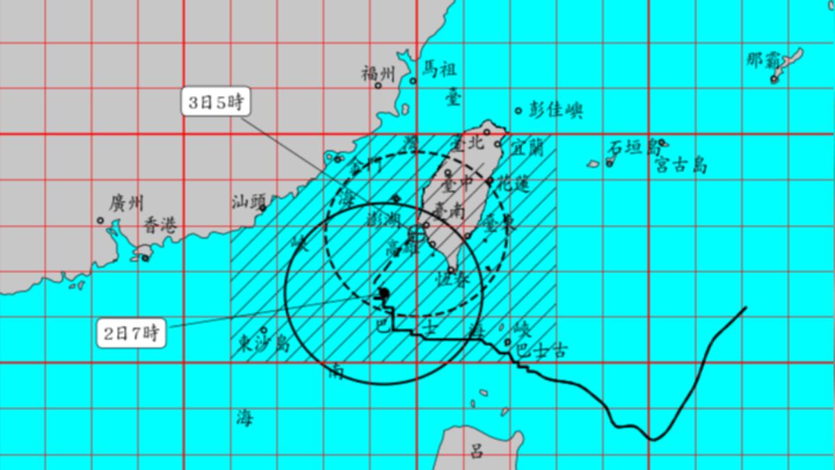
TAIPEI (TVBS News) — Typhoon Krathon (山陀兒) engulfed Taiwan late Tuesday (Oct. 1) night, bringing increased winds and rain to the northern region, with the storm's center moving offshore from eastern Taiwan by Wednesday (Oct. 2) morning, weakening in intensity.
Thursday afternoon, the northeast monsoon is expected to intensify, prompting authorities to warn of heavy rain in the north. Meteorologists predict the northern region will remain under the storm's influence until early Friday, with sea warnings possibly lifted by Friday afternoon.
On Wednesday morning, Typhoon Krathon weakened to a moderate typhoon. Weather forecasting Facebook group "Typhoon Fact Checker" (用事實說颱風) estimated landfall between Tainan and Kaohsiung around 11 p.m. The storm's outer bands covered the entire island late at night.
The "Typhoon Fact Checker" noted the typhoon weakened over the past three hours but maintained strong intensity. Despite starting to turn north, the storm's speed remained slow. The page projected that the strongest winds and rain would hit the Tainan-Kaohsiung area, with gusts of 12-14 levels expected 80 kilometers south of the landfall point.
The "Typhoon Fact Checker" also cautioned residents in Tainan, Kaohsiung, and Penghu to prepare for potentially damaging gusts exceeding 14 levels. After the typhoon's landfall, it may weaken to a tropical depression or light typhoon upon re-entering the sea, with all typhoon warnings potentially lifted by Thursday evening.
The enhanced northeast monsoon brought additional rainfall to the northern seas. After Thursday, heavy rain is expected from Hsinchu northward.


