








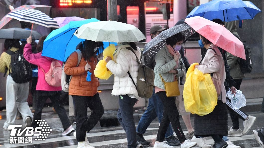
TAIPEI (TVBS News) — Taiwan faces a sharp temperature drop Wednesday (Dec. 25) as cold air sweeps south, potentially marking the winter's second "continental cold air mass," according to meteorologist Wu Der-rong (吳德榮). Northern Taiwan will experience the most significant cooling, with temperatures falling throughout Wednesday afternoon and evening. The cold front follows the season's first continental cold air mass that affected the island earlier this month, bringing similar weather patterns.
The European Centre for Medium-Range Weather Forecasts (ECMWF) model indicates increasing clouds and localized rain will affect northern and eastern Taiwan Wednesday afternoon. Temperatures in northern Taiwan will drop significantly throughout the day as the cold air mass moves south. Central and southern regions will remain mostly clear and warm, experiencing minimal impact from the cold front moving through the northern part of the island.
Northern and eastern Taiwan will experience local rainfall and damp, cold weather from Christmas Day through Saturday (Dec. 28), according to forecast models. Central and southern regions will see mostly cloudy to clear skies, with comfortable daytime temperatures but significantly colder mornings and evenings. The snow line will drop below 3,000 meters (9,843 feet), increasing the likelihood of light snow in mountain areas above that elevation, particularly in high-altitude regions.
The monsoon will weaken next week, bringing cloudy skies to northern Taiwan and a slight chance of rain in eastern areas. By Monday and Tuesday (Dec. 30-31), the weakening monsoon will lead to sunny weather and rising temperatures across Taiwan. Occasional light rain remains possible in eastern Taiwan as moisture from the Pacific Ocean continues to affect coastal areas. ◼