








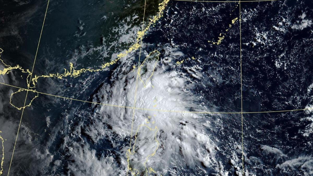
TAIPEI (TVBS News) — Taiwan faces continued hot weather with potential severe thunderstorms through Saturday (Aug. 30), as meteorologist Wu Der-romg (吳德榮) warned Wednesday (Aug. 27) of dangerous conditions ahead. The island will experience sunny to partly cloudy skies with high temperatures and localized afternoon thunderstorms in mountainous regions. Wu cautioned that heavy thunderstorms could extend to central and southern plains, urging residents to remain vigilant against extreme weather.
Wu advised that increasing southern moisture could trigger brief, localized rainfall across Hualien, Taitung, and Pingtung counties, Taiwan's eastern and southern regions. Unstable atmospheric conditions necessitate precautions against sunburn and heatstroke during this period. Wu predicted that southern moisture will move northward from Thursday (Aug. 31) to Monday (Sept. 2), creating partly cloudy skies with slightly lower temperatures, though northern Taiwan will remain notably warm.
Wu highlighted that the latest European Centre for Medium-Range Weather Forecasts (ECMWF) simulation shows a tropical disturbance entering the South China Sea Wednesday (Aug. 27). The system carries a 40% probability of developing into a typhoon similar to Typhoon Kajiki over Thursday (Aug. 28) and Friday (Aug. 29). The U.S. Global Ensemble Forecast System (GEFS) simulation indicates a northwesterly path slightly more northerly than Kajiki, featuring scattered individual projections and weaker overall intensity.
Wu emphasized that latest meteorological model simulations indicate additional tropical systems could become active in distant waters east of Taiwan next week. The Northwestern Pacific region remains in peak typhoon season, creating heightened potential for storm development and intensification. These conditions warrant continued monitoring as weather patterns evolve across the region during this climatologically active period. ◼