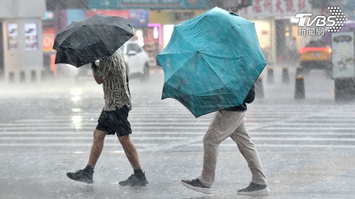
TAIPEI (TVBS News) — The Central Weather Administration (CWA, 中央氣象署) forecasts Tuesday (July 23) of significant rainfall the following day, especially in southern and central mountainous areas, potentially reaching up to 1,800 millimeters as Typhoon Gaemi (凱米) approaches.
With the typhoon's center positioned southeast of Yilan, the storm is moving northwest, affecting Taiwan's eastern regions, north of Taichung, and south of Chiayi.
By 7 a.m. Wednesday, the accumulated rainfall across Taiwan was substantial, with parts of Yilan showing green on rainfall maps. At 6 a.m., wind speeds in Taoyuan Valley (桃源谷) reached level 9, classified as orange.
The CWA warned that Typhoon Gaemi poses a threat to Taiwan, Penghu (澎湖), and Matsu (馬祖), with increasing wind and rain intensity expected.
The weather-focused Facebook page "Observing Meteorology and Weather" (觀氣象看天氣) cautioned that Typhoon Gaemi has reached the upper limit of a moderate typhoon and is nearing the strength of a severe typhoon.
At 6 a.m., wind speeds in Yilan's Taoyuan Valley were at an orange level 9, while Daxi Fishing Harbor (大溪漁港), Yilan, and Zhuangwei Township (壯圍) recorded yellow level 8 winds.
By 7 a.m., wind speeds decreased to level 7 in Yilan and level 6 at the Hualien District Agricultural Research and Extension Station, Lanyang Branch (花改蘭陽分場), both marked as yellow.
The CWA continues to monitor the situation closely as Typhoon Gaemi's intensity shows signs of further strengthening. Residents are advised to stay updated on weather alerts and take necessary precautions.


