


TAIPEI (TVBS News) — Drone and aerial footage have unveiled the devastating aftermath of the Hualien earthquake on the Suhua Highway, with several sections buried under falling rocks.
The footage shows extensive slope collapses that have stripped the area, resulting in significant damage. The earthquake's force also caused landslides and rockfalls on the Central Cross-Island Highway, bringing destruction to Taroko National Park and halting all traffic.
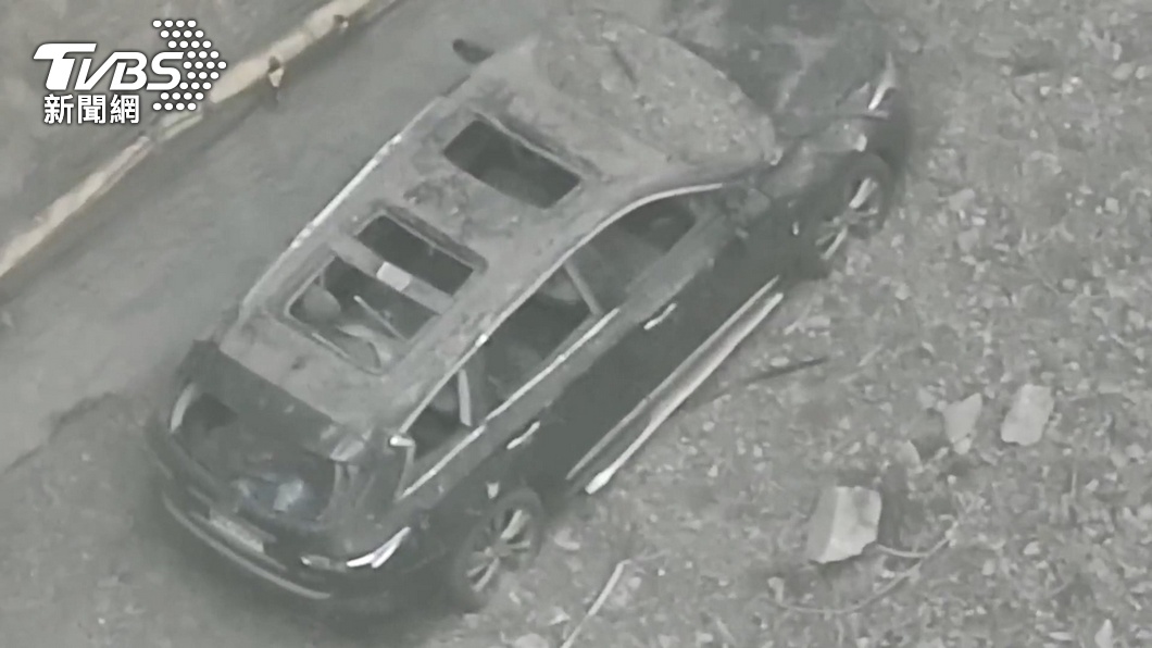
Vehicles caught in the falling rocks sustained severe damage, and occupants suffered injuries. The scenes depict a dire situation, with many road sections obliterated or buried under debris.
According to the Central Disaster Response Center, as of the morning of April 5, two bodies were discovered on the Shakadang Trail, bringing the death toll from the Hualien earthquake to 12 and the injured to 1,106. A total of 682 people are stranded, and 16 are missing. The nine people trapped in the Jiuku Cave safely evacuated to Taroko.

